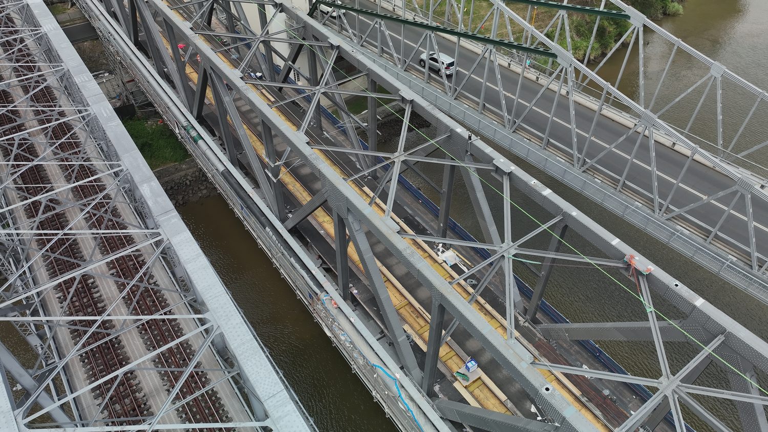
LIVE RELAYRAIL BRIDGE · INDOOROOPILLY QLD
Time-critical asset remediation inspection — Indooroopilly QLD
LIVE RELAY DURING A QUEENSLAND RAIL POSSESSION
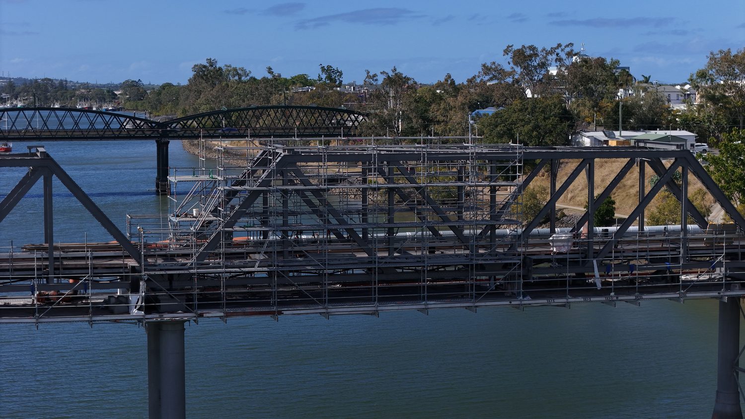
Brisbane-based RTK photogrammetry, LOD 400 digital twins and AI defect detection for infrastructure across South East Queensland and Northern NSW. Nobody goes up on rope access, scaffolding or an EWP to capture the data. It lands in the formats your engineers already work in.
Measurable, fully textured 3D models of your asset, built from RTK-positioned imagery and validated against ground control. Measure, section and inspect from the office instead of the site.
| Horizontal accuracy | Up to 1 cm + 1 ppm |
|---|---|
| Vertical accuracy | Up to 1.5 cm + 1 ppm |
| Relative accuracy (structures) | 3–5 mm |
| Deliverable formats | .LAS · .OBJ · .FBX · .RCP · GeoTIFF |
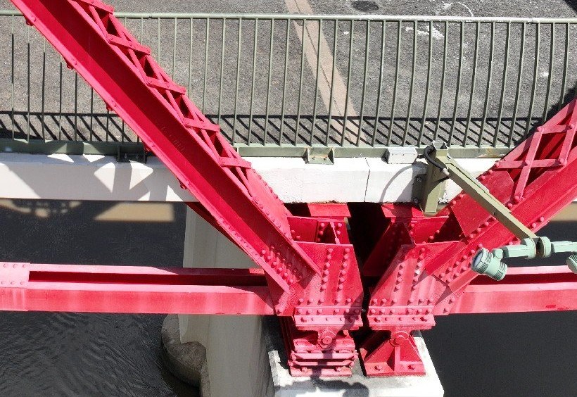
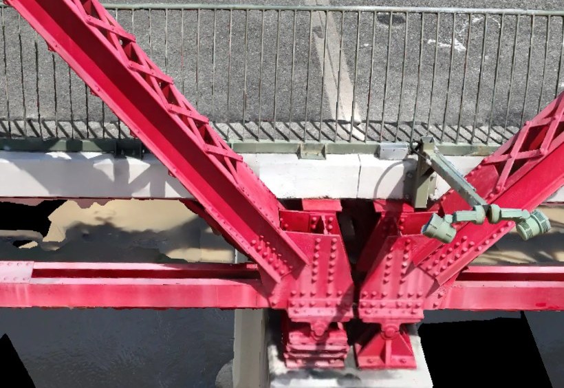
DRAG TO COMPARE — SITE PHOTO ↔ LOD 400 DIGITAL TWIN
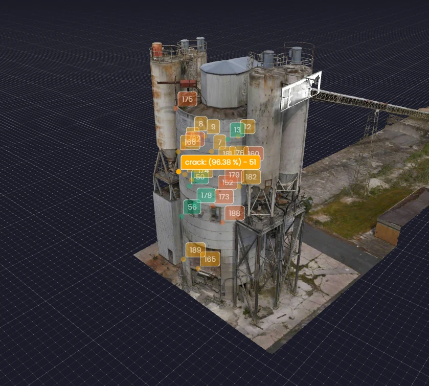
Every image is analysed for cracking, spalling and corrosion staining down to 0.2 mm, then pinned to its exact position on the 3D model. The findings come back as a geolocated PDF report, not points buried in a model file that needs special software to open.
| Minimum detectable crack width | 0.2 mm |
|---|---|
| Output | Geolocated PDF report + 3D model |
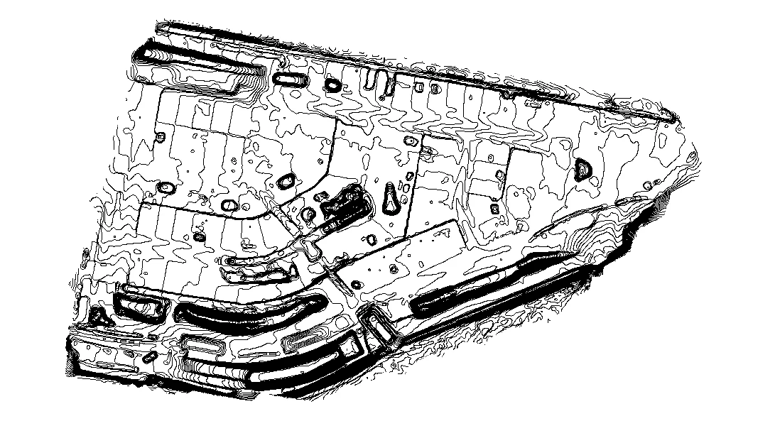
RTK topographic surveys: contours, DTM/DEM and orthomosaics, CAD-ready for civil design and tenders.
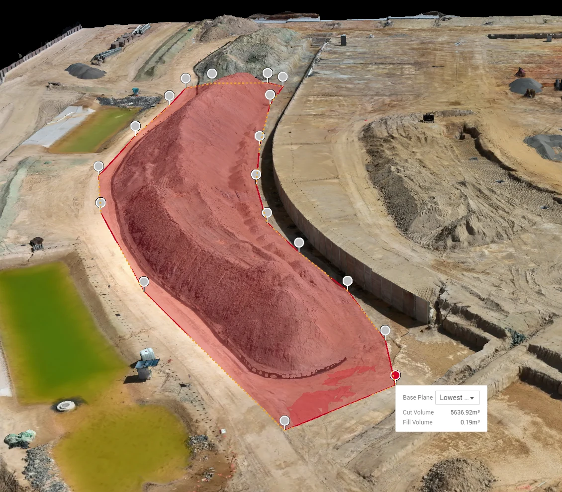
Stockpile and cut-and-fill volumetrics with survey-grade accuracy. No site shutdowns, and the report lands in time for end of month.
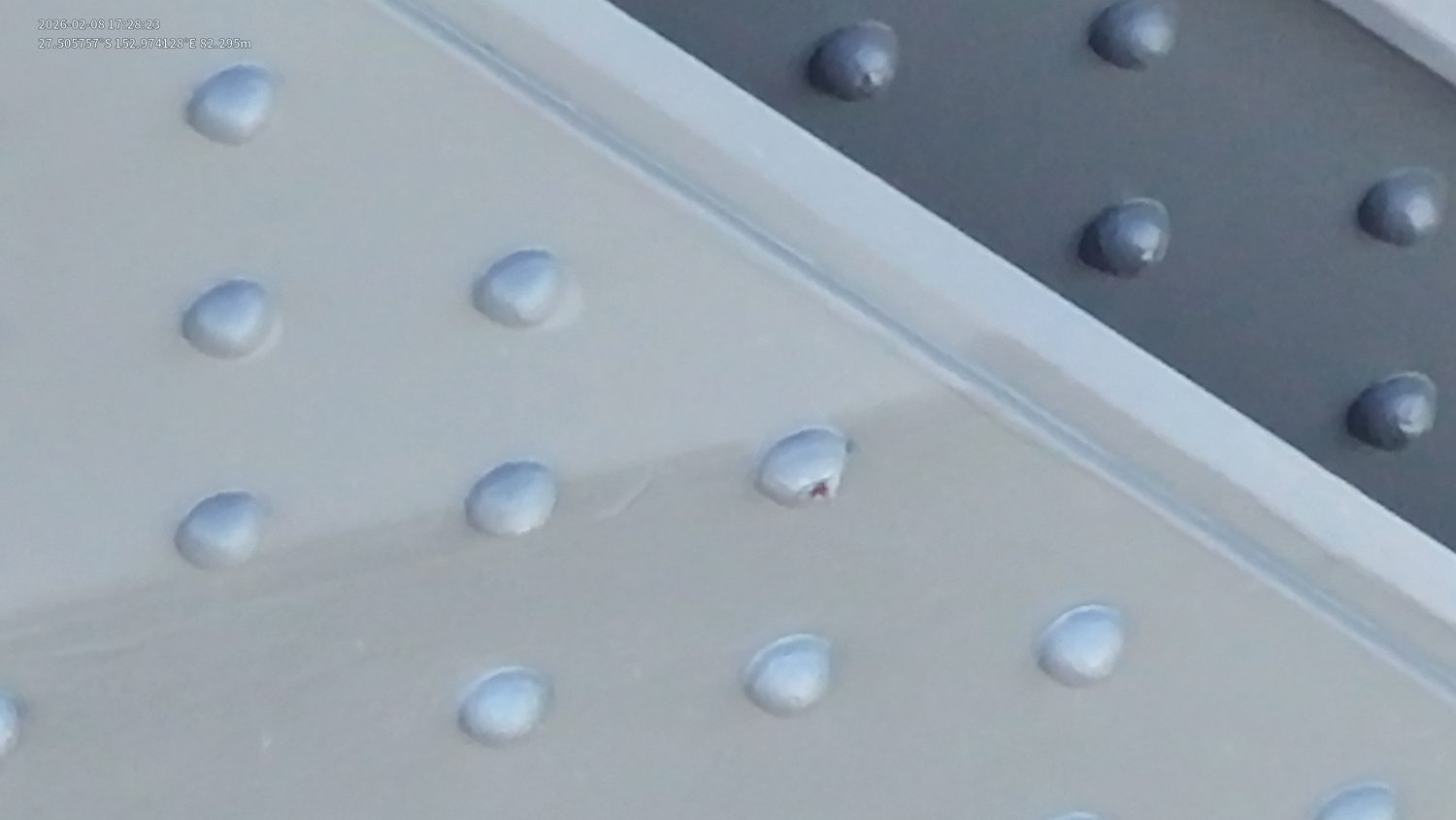
Close visual inspection of bridges, towers and dams, with no rope access, scaffolding or EWPs required.
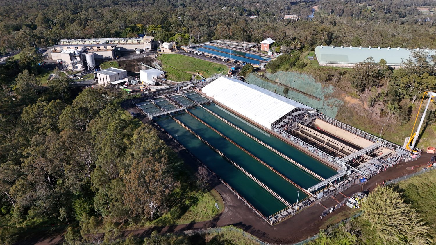
4K progress documentation from fixed waypoints, captured the same way every month for stakeholders and tenders.
LOD 400 digital twins and validated point clouds for design verification, clearance checks and condition assessment.
.RCP → REVIT / OPENROADSVolumes for claims, progress documentation from fixed waypoints, and dilapidation baselines before works start.
SURFACES → CIVIL 3D / 12dGeolocated defect registers and repeatable inspection datasets that make condition trends measurable year on year.
REGISTER → CSV / GIS
LIVE RELAY DURING A QUEENSLAND RAIL POSSESSION
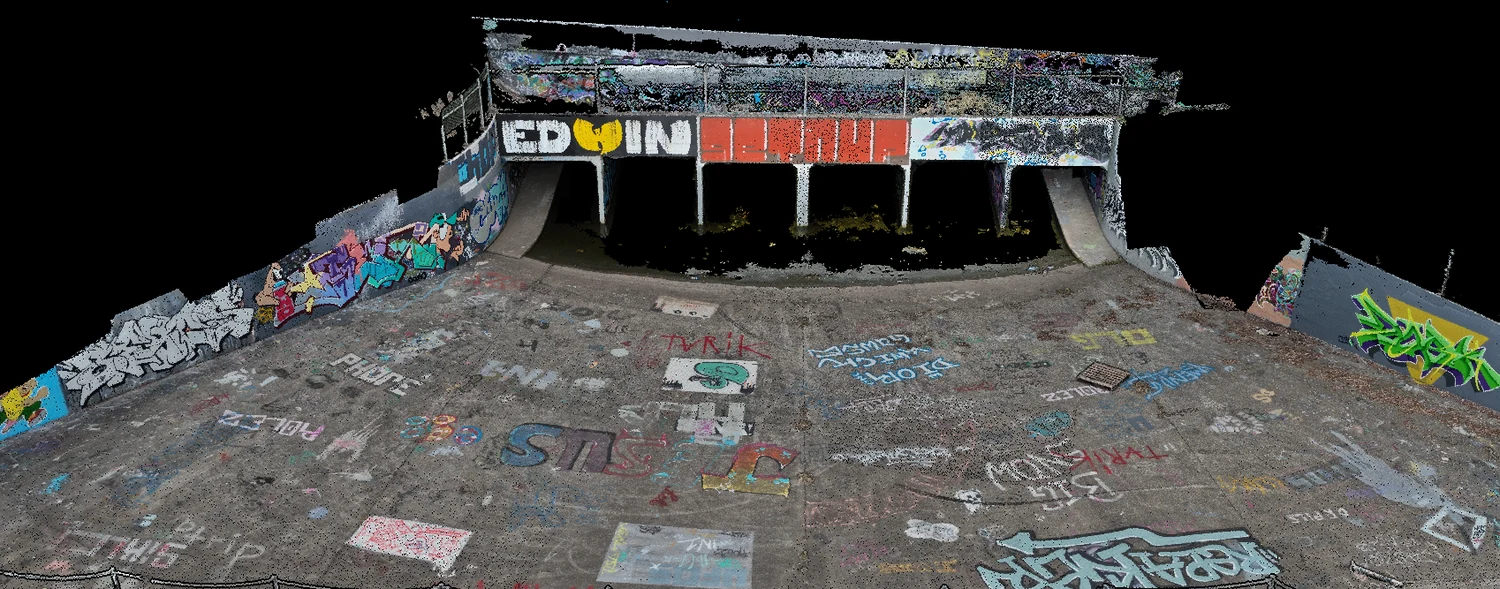
CAPABILITY TRIAL · 0.2 MM CRACKS RESOLVED
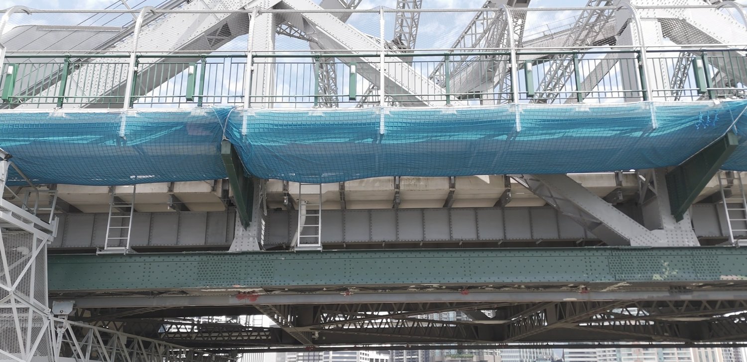
CVI PROGRAM · SEQUENCED WITH LIVE REMEDIATION WORKS
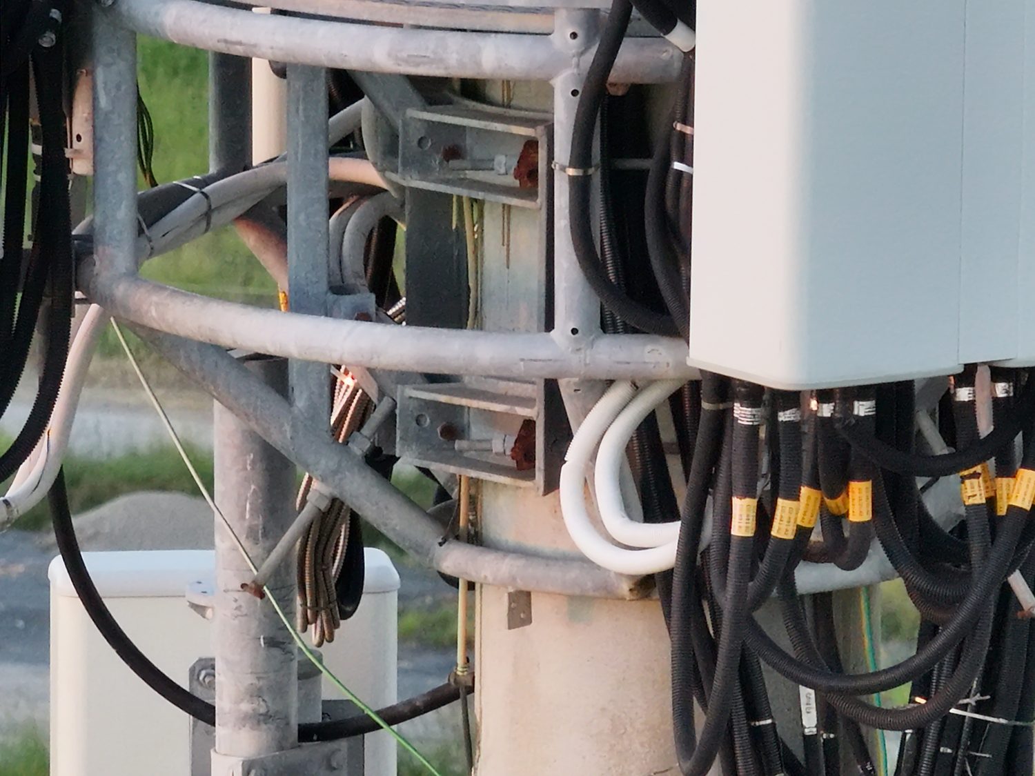
DEMONSTRATION CAPTURE · NO ROPE ACCESS / EWP
Rapid mobilisation across greater Brisbane, Logan, Ipswich, Moreton Bay and the coasts, including CASA-approved operations in controlled airspace.
Scheduled travel jobs quoted as a single fixed price, with full site documentation supplied ahead of arrival.
Remote-site logistics and multi-day capture programs for infrastructure portfolios and linear assets beyond the south-east.
Our RTK workflows deliver up to 1 cm + 1 ppm horizontal and 1.5 cm + 1 ppm vertical accuracy, validated against ground control points on every job. On structures, relative accuracy runs 3–5 mm, which is tight enough for clearance checks, deformation baselines and design verification.
Yes. Hover operates under CASA ReOC #9398 and secures airspace approvals for controlled and restricted airspace across greater Brisbane. Build a few extra days into the program for approvals; we handle the paperwork your site team needs.
.LAS, .OBJ, .FBX and .RCP models, GeoTIFF orthomosaics and CAD-ready surfaces, built to drop straight into Civil 3D, 12d, Revit, OpenRoads, Trimble Business Center and GIS platforms without conversion.
No, and we are upfront about it. Hover delivers survey-grade photogrammetric data for engineering, construction and asset management. Cadastral and boundary matters are legal survey work, and we refer them to registered surveyors.
Send the site address and what you need measured. You'll have a scoped technical quote covering capture method, control, deliverables and timeframe within one business day.