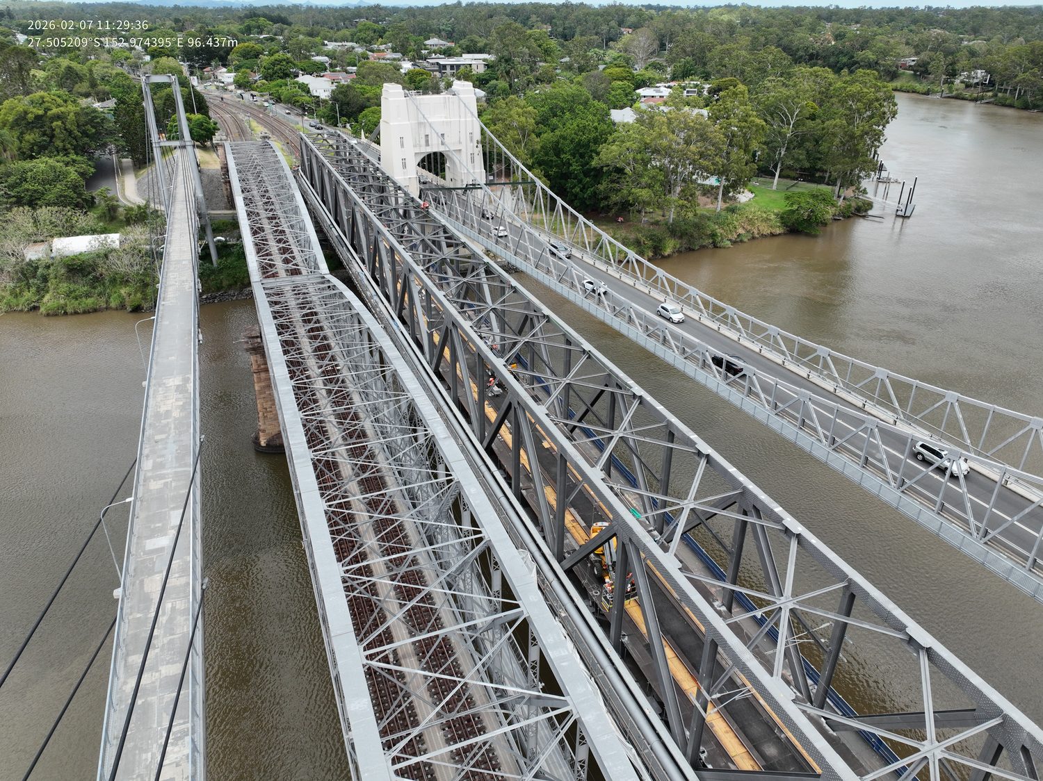
The operator behind the data
Hover is a specialist operation, not a marketplace: the pilot who plans your capture is the one who flies it, processes it and stands behind the numbers.
Harry Billing — Owner & Chief Remote Pilot
Hover Aerial Imaging was founded in Brisbane in 2024 around a specific conviction: that infrastructure teams deserve capture data built to survey discipline, not content-grade drone photos with coordinates attached.
Harry Billing is the Chief Remote Pilot on CASA ReOC #9398. He has been flying commercially since 2022, and he plans the flight, flies it, processes the data and signs the deliverable: the same person, on every job.
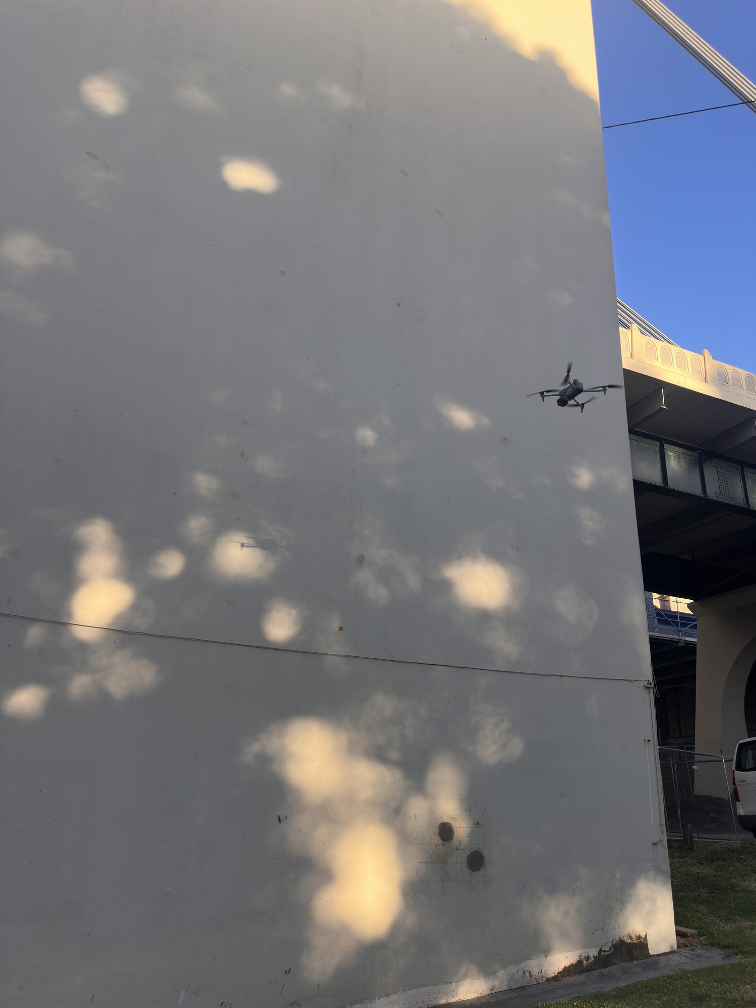 ON STATION — BRISBANE RIVER
The paperwork your site team will ask for
The Chief Remote Pilot holds a Certificate III in Aviation (Remote Pilot), a current Remote Pilot Licence, an Aeronautical Radio Operator Certificate and a night VLOS approval. The radio certificate is what allows direct coordination with air traffic control on city and airport-adjacent work; the night approval covers dusk and after-dark photography and video. A Preliminary Site Assessment is filed before mobilisation, and a Specific Flight Assessment is filed within 24 hours of capture, covering weather, NOTAMs and the final go/no-go decision.
Compliance documentation (insurances, SWMS, operating certificates) is supplied ahead of mobilisation as standard. Ask for the compliance pack with your quote.
Raw imagery, RTK logs and processing files are retained for a minimum of three years from delivery, and are available for audit at any point in that period.
The kit, honestly described
Capture runs on a DJI Matrice 4 Enterprise RTK platform working against a base station on known control, with ground control targets laid and independently measured for validation.
Photogrammetry is the deliberate choice behind that platform, not a limitation of it. Every model carries the asset's true surface (texture, colour, stains, coating condition) fused with survey-accurate geometry, so one capture doubles as both a measurement dataset and a visual inspection record. That combination is what makes a crack or a corroded weld findable in the data at all, not just a shape in space.
Ground control is laid to suit the site: a minimum of three control points and two independent check points, more where size or layout call for it. The check points are withheld from the bundle adjustment, so they are the gate the survey is judged against rather than part of what produced it. Residuals are reported with the deliverable, not just claimed.
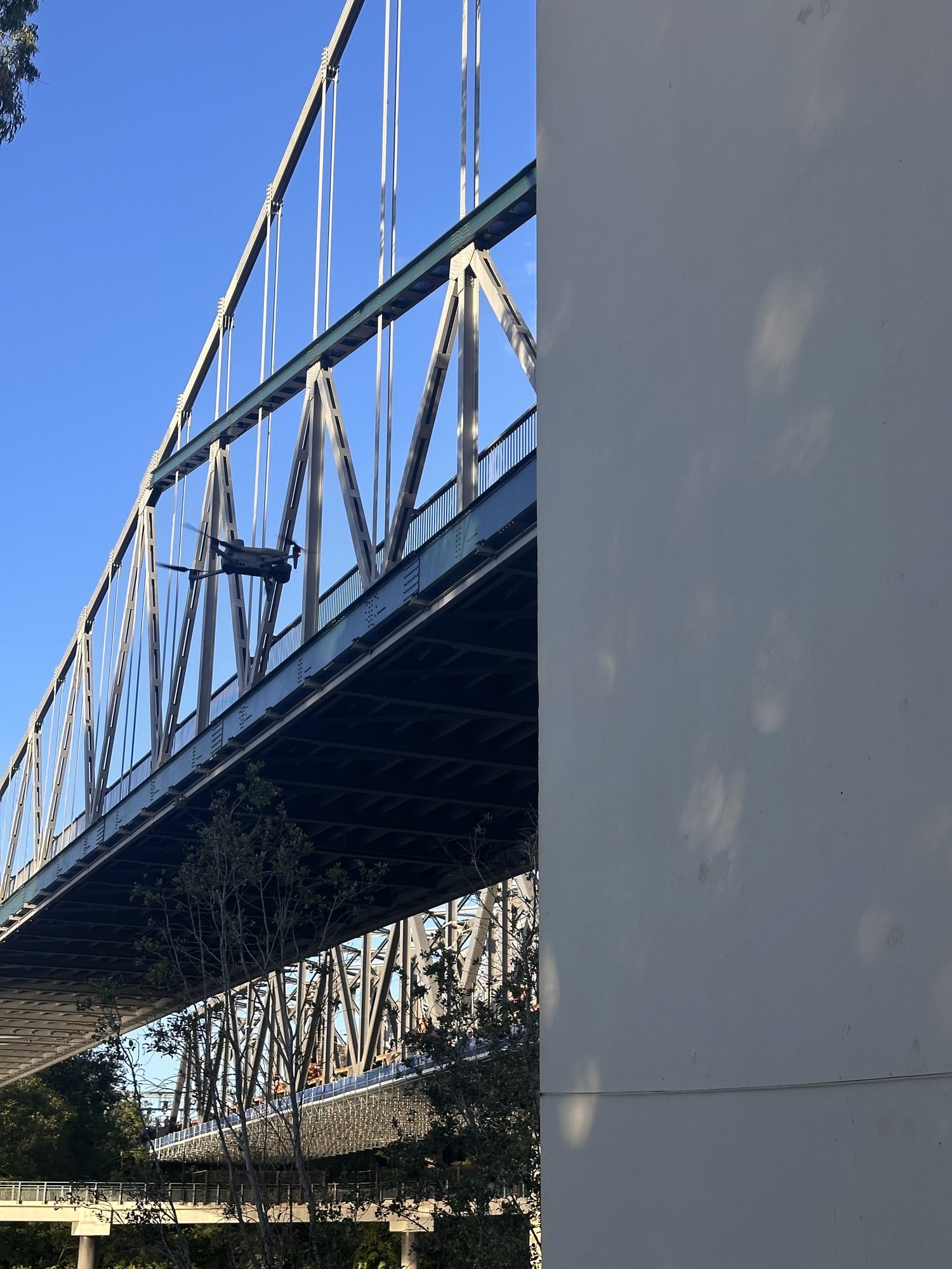 PLATFORM — M4E RTK
Built around engineering teams
Deliverables are specified in your language (formats, accuracy class, control evidence) and scoped in writing before capture. Your engineers get data they can verify and sign off, in the software they already run. If a job is better served by a ground crew or a registered surveyor, we say so at quoting, not after mobilisation. The proof lives in the case studies.
Scope this for your site
Send the asset and the deliverable you need. A scoped method and quote come back within one business day.
HARRY BILLING — CHIEF REMOTE PILOT
0411 445 458
harry@hoverai.au
CASA ReOC #9398 · $28M PUBLIC LIABILITY