Drone mapping and inspection in Brisbane
Home turf: rapid mobilisation across greater Brisbane, Logan, Ipswich and Moreton Bay, with the airspace approvals city work actually requires.
Brisbane is controlled airspace. Plan for it
Hover provides drone mapping, surveying and inspection across greater Brisbane, including controlled-airspace assets in the CBD, from a CASA-certified operator based in the city. Most of the metro area sits under controlled or restricted airspace tied to Brisbane Airport and the CBD, which is exactly where many operators stop returning calls. Hover plans city jobs around that reality: approvals arranged under CASA ReOC #9398 before mobilisation, paperwork handled, and the lead time built into the program rather than discovered halfway through it.
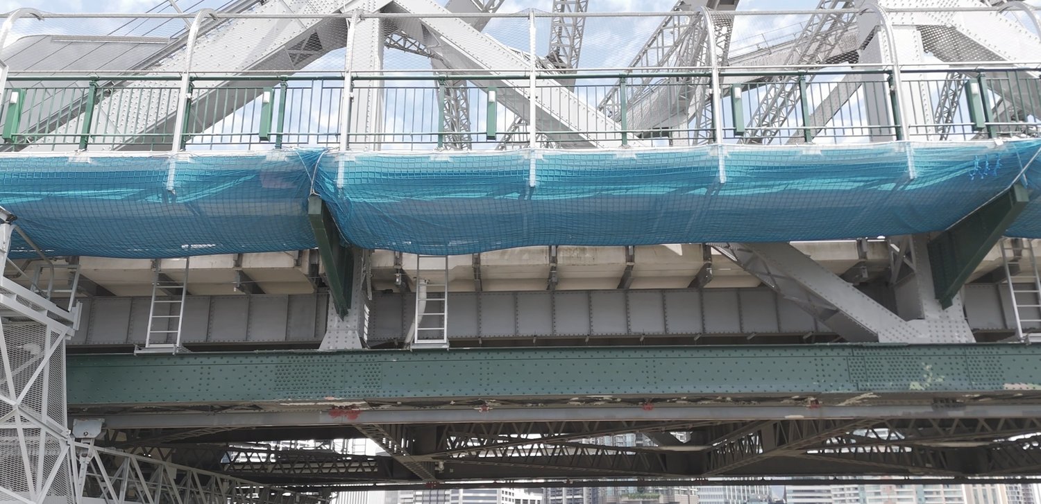
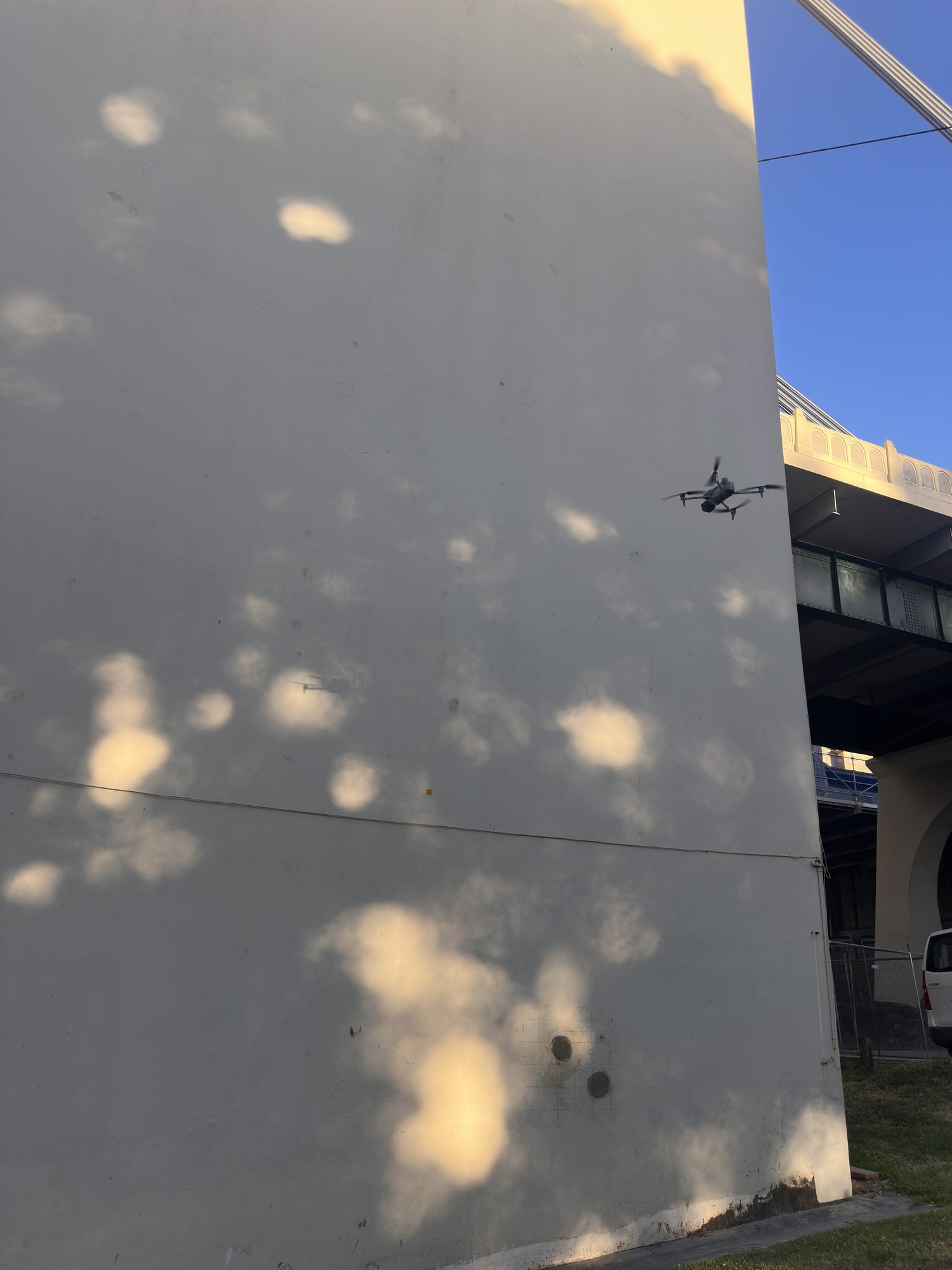
The day-to-day work is the city’s hard-access assets: river bridges, towers, plant and live construction sites. Recent Brisbane programs include a time-critical under-deck netting verification on the Story Bridge, flown around live footpath remediation and reviewed with the contractor over video as the flight progressed, and a live inspection of the Indooroopilly Rail Bridge inside a single weekend track possession, relaying HD capture to remediation supervisors in real time while the repair crews kept working. Both run through close visual inspection. The measured side of the same sites runs through RTK topographic site surveys and stockpile and cut-and-fill volumetrics.
 BRISBANE RIVER CORRIDOR
Straight answers, before you ask
Q/01Can you fly drones in the Brisbane CBD?
Yes, with the right approvals in place first. Hover operates under CASA ReOC #9398 and arranges the controlled and restricted airspace authorisations Brisbane city work requires. The practical impact is lead time, not feasibility: build a few extra days into the program and the airspace is handled, paperwork included.
Q/02How fast can you mobilise in Brisbane?
Quotes come back within one business day, and local jobs typically run from scoping to capture inside a normal project window; airspace approvals and weather are the two variables. Scheduling is coordinated directly with your site team, so capture fits around the works rather than the other way around.
Q/03What do councils and site managers require?
The standard pack is supplied before anyone mobilises: SWMS, proof of $28M public liability insurance, and operator certification under CASA ReOC #9398. Where an asset owner runs its own permit process (rail corridors are the usual example), it's worked through as part of the scoped program.
Q/04How much does drone mapping in Brisbane cost?
It depends on the asset, the access and the deliverable; controlled-airspace work needs more planning than an open site. As a 2026 guide: topographic site surveys typically run $800 to $3,500, single-asset inspections start from a few hundred dollars, and volumetric surveys around $500 to $2,000 per visit. The Brisbane drone cost guide breaks down what moves the number; a written, fixed quote comes back within one business day.
Across greater Brisbane and the SEQ corners
Brisbane is home base, so most of South East Queensland is a local mobilisation. The Gold Coast and Sunshine Coast are within routine reach, and controlled-airspace work in the Brisbane CBD is arranged under CASA approval. For assets beyond South East Queensland, see regional QLD & Northern NSW.
Brisbane CBD & inner city
Controlled-airspace inspection and mapping in the CBD and inner suburbs, flown under CASA approval arranged as part of planning.
Ipswich
Growth-corridor earthworks, development sites and infrastructure across Ipswich and the western suburbs.
Logan
Site surveys, volumetrics and bridge and asset inspection across Logan and the M1 corridor.
Moreton Bay
Coastal and hinterland sites across the Moreton Bay region, from Redcliffe to Caboolture.
Redlands & bayside
Development sites, towers and infrastructure across Redland City and the bayside, where much of Hover's survey work is based.
Gold Coast
High-rise facades, canal-estate earthworks and infrastructure: a routine mobilisation from Brisbane, no travel premium.
Sunshine Coast
Coastal monitoring, new-estate earthworks and asset inspection across the Sunshine Coast and hinterland.
Scope this for your site
Send the asset and the deliverable you need. A scoped method and quote come back within one business day.
HARRY BILLING — CHIEF REMOTE PILOT
0411 445 458
harry@hoverai.au
CASA ReOC #9398 · $28M PUBLIC LIABILITY